Summer 2010
near the end of the line, in Leiden
01/08/10 23:09
we spend our last two nights in Europe for 2010
Holland feels more like home than abroad, an impression reinforced strongly by the extraordinary linguistic capacities of the Dutch. As Brits we feel a mixture of shame and embarrassment when we roll up in a restaurant, hotel or shop, for it is almost as rare to find a Nederlander who doesn’t speak English at least competently and most likely fluently, as it would be to find a Brit who could scratch together so much as an order for two beers in Dutch.
Leiden is an impressive city, architecturally akin to Amsterdam, but a quieter town and easier to escape the congestion.
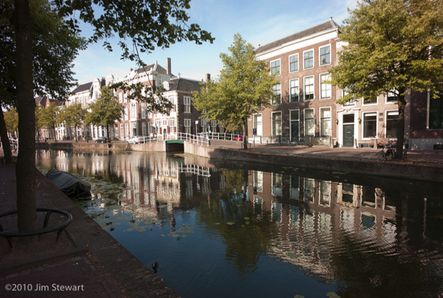
That said, it’s not a good idea to bring a car into the central part of Leiden, where the streets are mostly one-way and attempts to get from A to B generally involve passing via C, D, E, F & G as canals repeatedly open up in your path and force lengthy and circuitous diversions.
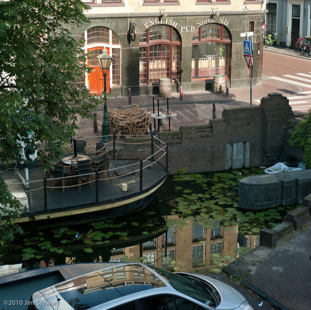
Our hotel room overlooks a canal, and also an English pub. Not really what you want to find when you’re nearing the end of a trip. But at least the clientele is Dutch.
The hotel itslf occupies one of the grand merchants’ houses which line so many of the canals
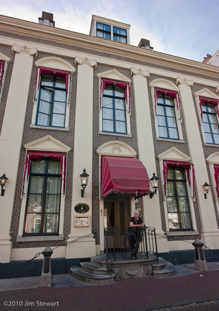
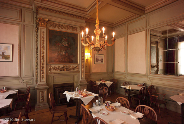
and a strong sense of faded grandeur pervades it
The town itself has a more modern feel: impossible to image Holland in the days before bicycles, or to envisage a future without windmills
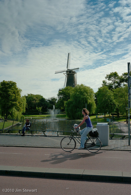
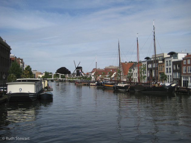
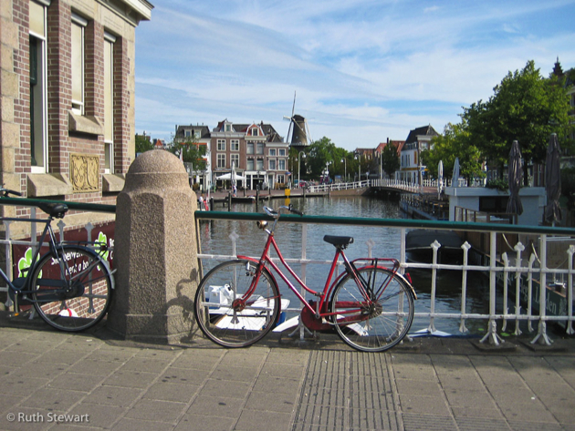
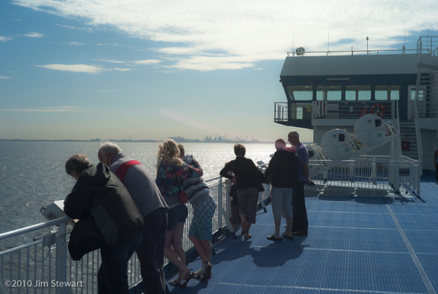
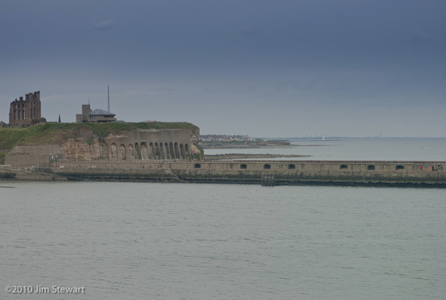
And that’s about it for summer 2010. Next day was up to Ijmuiden and aboard the ferry back to Newcastle-upon-Tyne.
Comments
down the Moselle, below the vines...
30/07/10 09:43
... lies the best kept secret in wine?
See wine writer Tom Canavan on Luxembourg’s wines here
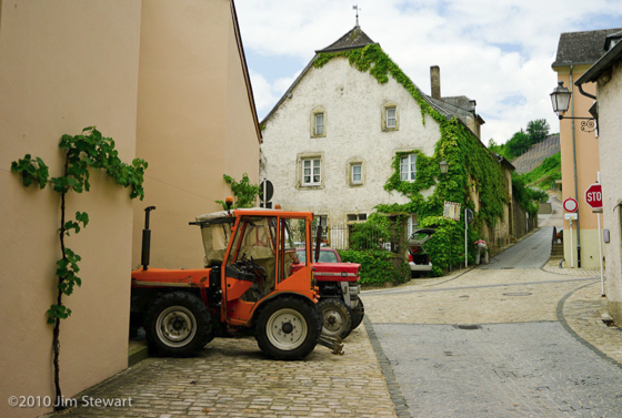
We spent a day rambling down the Moselle valley, with the better-known German Mosel vineyards just across the river from us. In the village of Éinen, the vines come right into the built-up area, and there seems to be little distinction between horticulture and viticulture
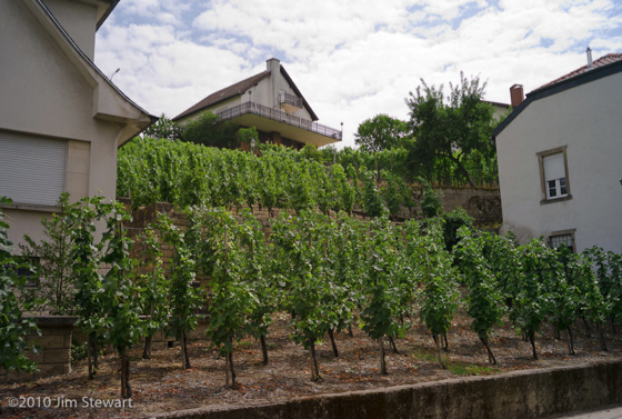
The signs of wine-making are everywhere in Éinen
And the wine? Well, we tried some Letzeburgesch fizz, and found the stuff from Domaine Bernard-Massard in nearby Grevenmacher particularly agreeable. A fraction of the price of a champagne of comparable quality. Wish we could find it back in the UK. Maybe next time we’ll haul back a case or two...
A mighty river the Moselle! Markers on the wall behind Bamberg’s Hotel show heights reached by flood waters during past inundations of the Moselle (click the pic to enlarge).
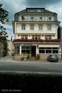
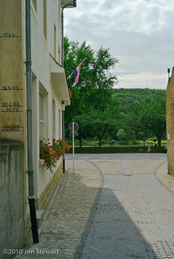
Haven’t been able to find much about this, but the 1947 flood waters reached a depth of 4 metres. An idea of just how widespread the devastation this must have caused would have been can be seen from the shot below of the Moselle valley taken at an altitude of less than one metre above the river’s normal level, from the exact same spot as the picture of the Bamberg’s hotel (above left) was taken. A 4 metre flood would have submerged most of the buildings in this shot, and lapped over Bamberg’s flower-covered balcony.
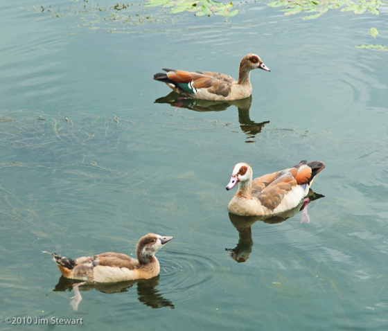
Surprises in store on the ornitho front as well. We’d not expected to run into these critters again
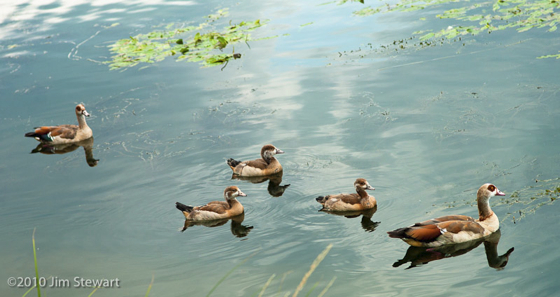
Last ones we saw were in the dam in the Pilanesburg National Park in South Africa, and anyone who got a Christmas card from us last year may recognise these as Egyptian Geese, same as pictured on our card
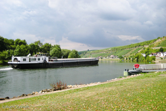
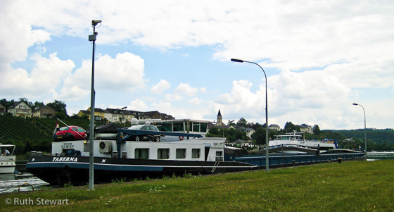
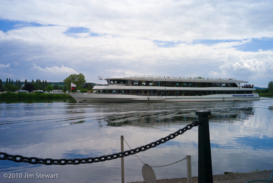
There are some surprisingly large boats on the Moselle, too. Quite a lot of them, in fact, both barges and cruise ships. Here’s a couple of examples: it really is quite difficult to convey the sheer scale of these - don’t forget to click to enlarge...
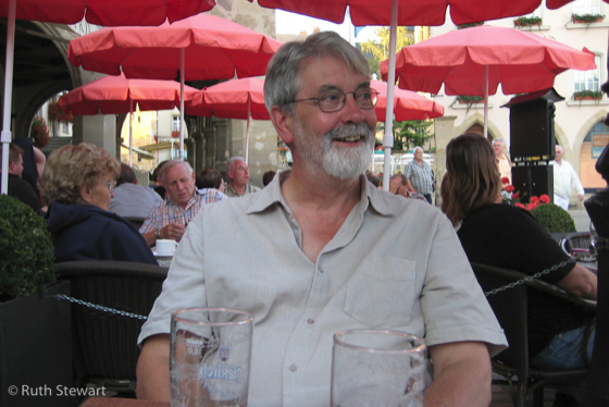
To Remich, one of the bigger Moselle crossing points, for lunch. Jim looks like he enjoyed it
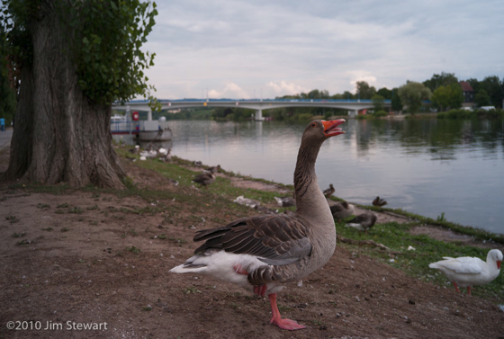
And finally : not all the geese were Egyptian. We ran into this stonker-honker after lunch
if it's Wednesday
28/07/10 23:02
it must be Germany.
Got seriously lost on the 10 mile trip here from Echternach, and very seriously lost on the (must have been 40 miles) trip back.
But here we were, on a Wednesday afternoon, in Trier. Reputedly Germany’s oldest city
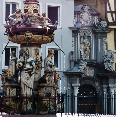
but really only known to us as the birthplace of one who probably wouldn’t like what they’ve done to the old place any more than he’d probably have liked the old place back then
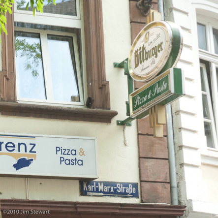
before they named a street after him.
to town
27/07/10 22:57
to Luxembourg city that is. By bus.
To explore on foot. Luxembourg is a surprising city, with a long history and a particularly unlikely location for any city, let alone a capital.
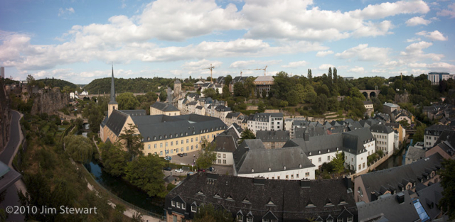
The city straddles the deep, wooded gorge of la Petrusse
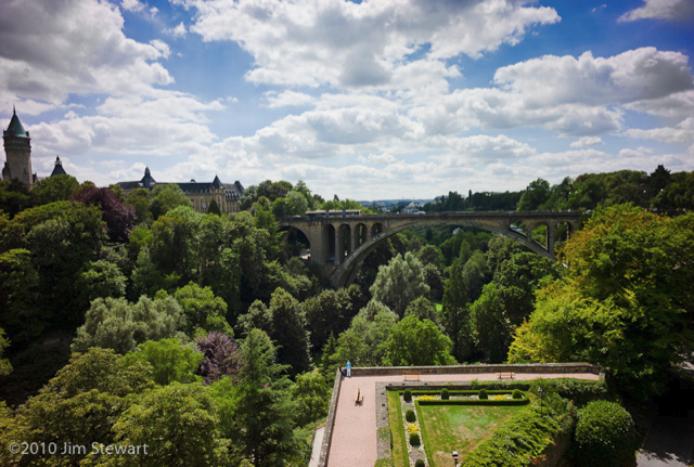
We walked the gorge. Under bridges
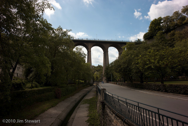
and the fortifications of the medieval town
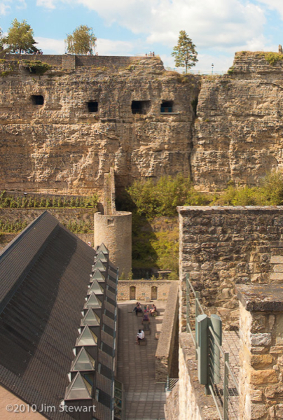
through old and new
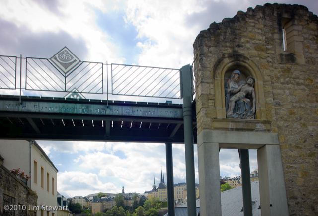
by the Abbaye de Neumünster
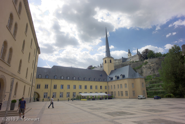
along the riverside
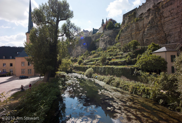
and back up into the town
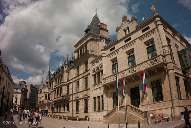
Oh yes, and of course it’s a Grand Duchy, so there’s a Palais Grand Ducal
and a cathedral too
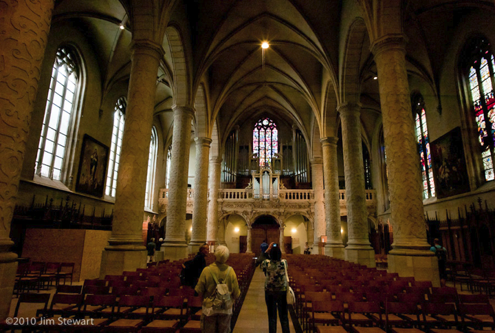
(post-war rebulit: Luxembourg was in the “Bulge”, when Patton came through)
And then it’s back on the bus, and back to Echternach, and our room in the Hostellerie de la Basilique, overlooking the Place de la Marché
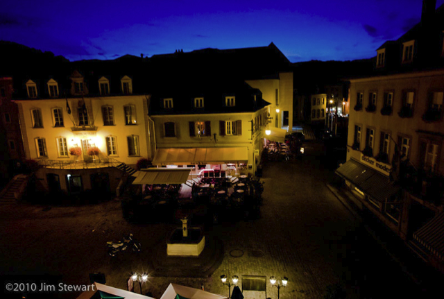
that night in Belgium
25/07/10 23:38
we ate in a riverside café below the castle in the Ardennes town of Bouillon...
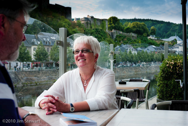
... and camped in the nearby village of Poupehan. Camping du Vieux Moulin, beside the river Semois. Idyllic, riverside camping? Sadly not. Will we be going back there? Certainly not - indeed, the experience of one night at Camping Le Vieux Moulin at Poupehan was just about enough to put us off going back to Belgium at all.
Why? Well, it wasn’t because of the slightly scary way we were forced to set up our tent in precise alignment with other tents and caravans.
And it wasn’t really so much the fact that a small group of 20-somethings decided to party, long, loud and drunkenly, until 3 a.m.. No, it was more the fact that the management of the campsite just let them get on with it, until 3 a.m.! And then, in the morning when we checked out, the manageress expressed horror at the “scandaleuse” events of the night, and would accept no responsibility for the “scandale de direction” that we’d had to put up with.
End of moan. Onward, into Luxembourg...
nothing remains
25/07/10 18:35
of the Ferme de Navarin. Neither of the village of Perthes-lès-Hurlus.
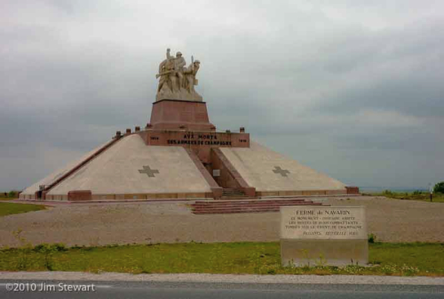
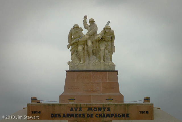
But the site of the ill-fated farm is all too conspicuous: the site now of a Memorial, and an Ossuary. One of the most moving things we’ve either of us seen, and we saw it on a suitably grey day.
The D977 north-east from Chalons towards the Ardennes crosses the flat and rather featureless terrain of Champagne, and beyond the town of Suippes traverses a shooting-range still used by the French army. On a crossroads about 3 miles north of Suippes is Souain-Perthes-lès-Hurlus, This reconstructed village occupies the site whereon was destroyed the village of Souain. The once-nearby village of Perthes-lès-Hurlus survives only as a name appended in a manner ironically reminiscent of the French villages’ habit of appending the name of their finest vineyard, as in Nuits-St. Georges, or Puligny-Montrachet.
Souain-Perthes-lès-Hurlus has barely 10 inhabitants for each letter of its name.
Both Souain and Perthes-lès-Hurlus were destroyed in the ravages of of the First World War.
A couple more miles north up the D977 we reach the site of the Ferme de Navarin, now the site of the Memorial and the Ossuary of Navarin, where lie the bones of 10,000 fallen combatants of the French, German, American, Russian, Czechoslovak and Polish armies who fought for four years over a front 30 kilometres long and no more than 4 kilometres deep in the Battle of Champagne, 1914-1918.
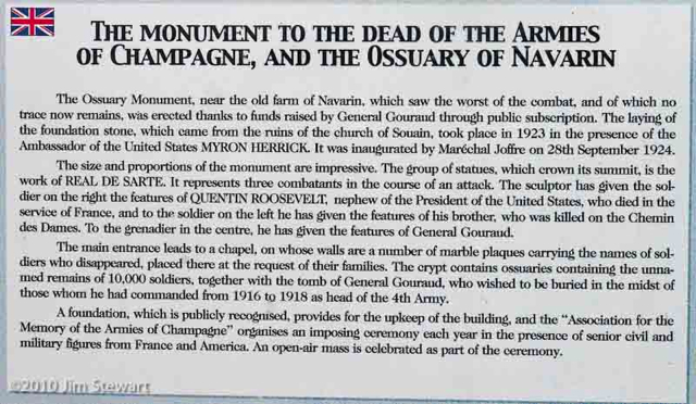
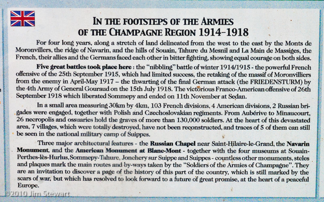
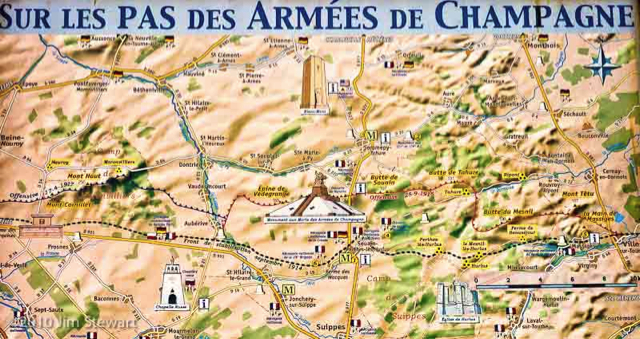
The map above shows the positions of the front line, and the minimal scale of its movements, between 1914 and 1918.
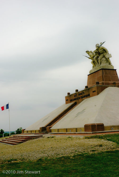
A little work back home turns up some interesting context on the Navarin Monument, its place in history and those of its creators.
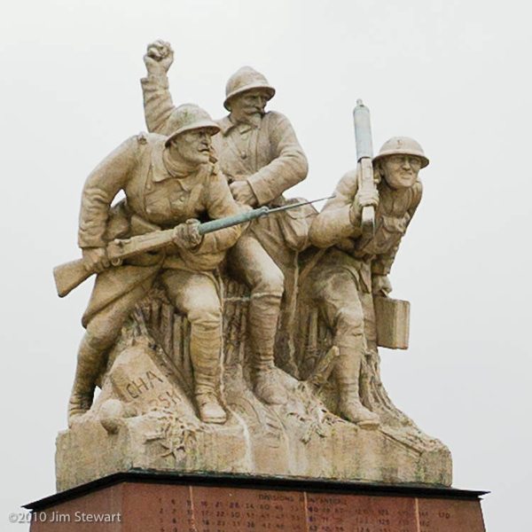
The figure in the middle of the statue is General Gouraud, who commanded the 4th army in the Champagne/ Marne battlefield on and off from late in 1915; undertook the final, successful, offensive in September 1918, and led the project to build the memorial. The sculpture itself is the work of Maxime Real del Sarte, an active member of the far-right Action Française group, and a leader of their youth movement Les Camelots du Roi. So there is perhaps, in this monument, and in del Sarte’s sculpture, some undertone of triumphalism, of the spirit of reparation that blighted Versailles and led to the collapse of German democracy into Nazism.
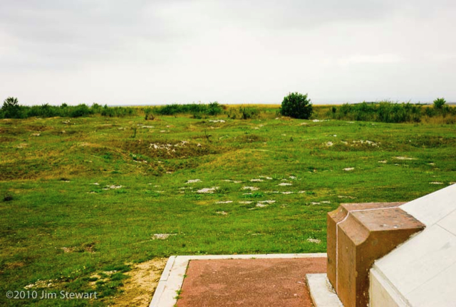
Nonetheless, it is impossible not to be moved by standing in the boneyard of Navarin, where the landscape still seems to bear the pock-marks of the shell-holes in which so very many died.
farewell to Flavigny
24/07/10 23:37
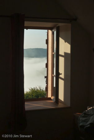
on a misty morning
we awaken to find the valley hidden from view from our windows
 >>>>>>>>>
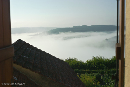
we wave goodbye to Flavigny, to Jean-Luc and Marte Tahon who’ve been our excellent hosts here, and to Françoise, Philipe and Leonard who were our neighbours and fellow-visitors. While they head south for their home in Hyères, we head north.
It’s a little sad to open our door and see Flavigny and the église Saint-Genest for the last time
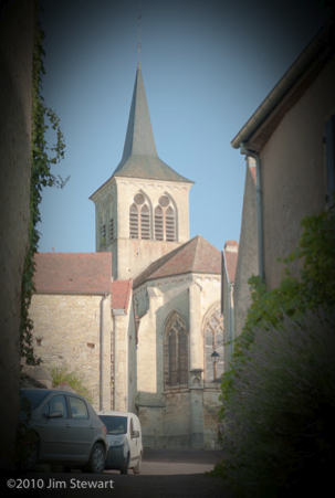
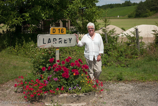
but on we go, and Ruth for one seems happy at Larrey (ho, ho, ho) as we near the northern perimeter of la Bourgogne...
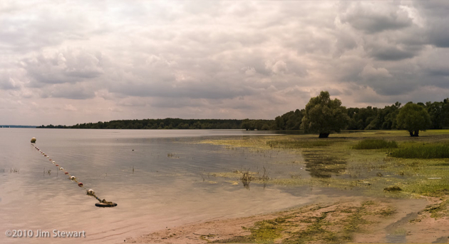
We thought maybe we’d find a lakeside campsite, and checked out the Étang de Marcenay and Lac d’Orient (pictured). After all, as noted previously, Les Francais aiment leurs Lacs. But thinking about it, we live in the land of lochs, and of course Argyllshire has more coastline than France, so maybe we’re just a bit picky when it comes to lacs, lochs and lakes.
Anyhow, after much nosing around, we ended the day in Champagne, in the Côte des Blancs vineyard area, in the village of Vertus, and the Hôtel Thibault IV, a ** Logis de France, and not one we’ll want to revisit. Along the way we passed through Troyes (which looked worth a visit - we may go back) and Épernay (which didn’t. The Rough Guide likes it, and gives a seriously misleading picture of a quiet little market town. We didn’t find that.)
This is Vertus:
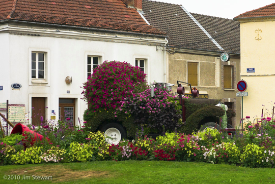
Note the grey sky...
the day goes on...
23/07/10 20:42
storm clouds and downpours come and go
We stop for lunch in Chatillon-sut-Seine...
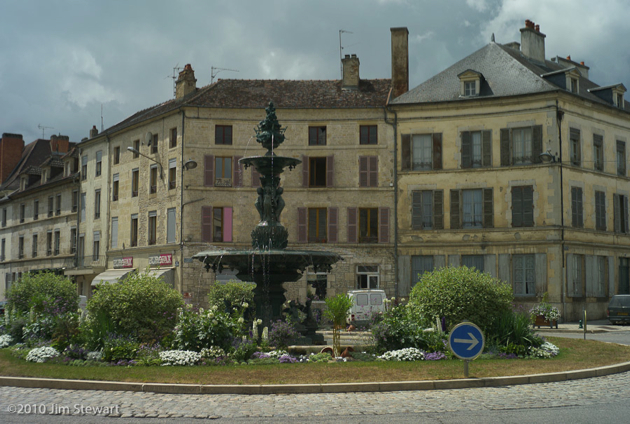
...drive a ways across the countryside in this most northerly part of the Département de la Côte d’Or, dodging downpours...
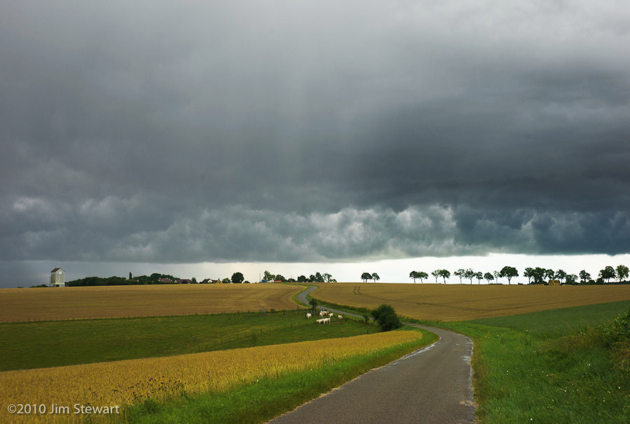
...and searching for Paris, and the source of the mighty River Seine.
Then all at once we’re there, at the veritable Source de la Seine...
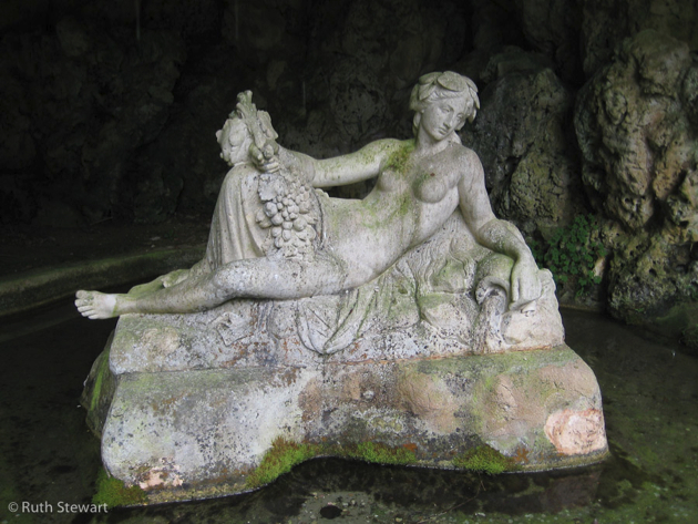
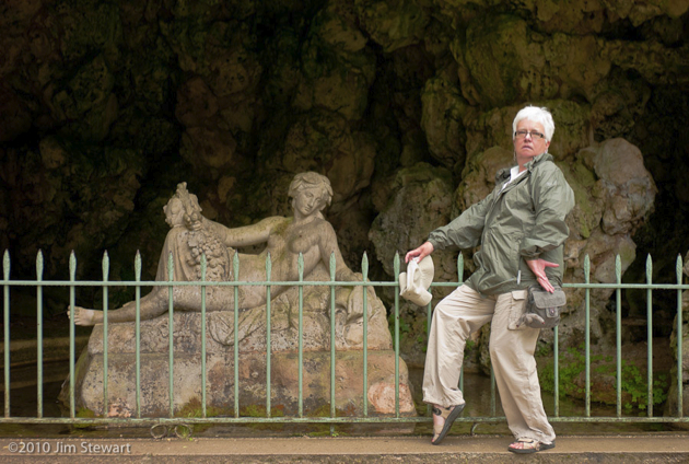
... where the goddess Sequana lolls atop the spring itself in a grotto. This is a little outpost of Paris, administratively as it is aesthetically, in the depths of the northern Côte d’Or, no more than about ten miles east of Flavigny.
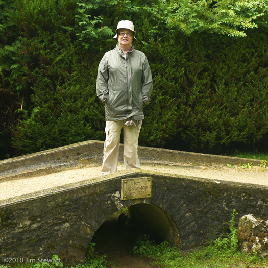
In these pictures Ruth ambles across one of Paris’s least-known bridges, the Pont Paul Lamarche (1902-2003),
and poses alongside La Reine de la Seine herself, seemingly assisting her in her riparian endeavours!
Then it’s back to Flavigny.
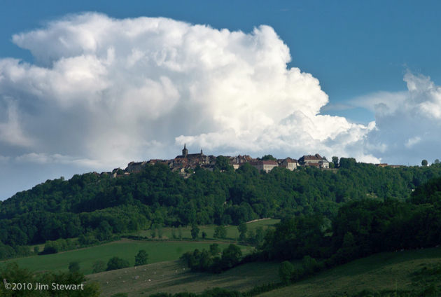
The sun finally breaks through over the town as we descend towards the Vignoble de Flavigny-Alésia in the valley below
and repair to the Maison du Vigneron to break out a bottle of “Demoiselle de Laizan”, the Vignoble’s not-half-bad Vin Effervescent.
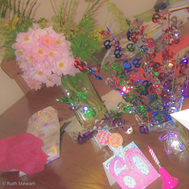
For we still have a birthday to celebrate!!!
the day begins...
23/07/10 10:09
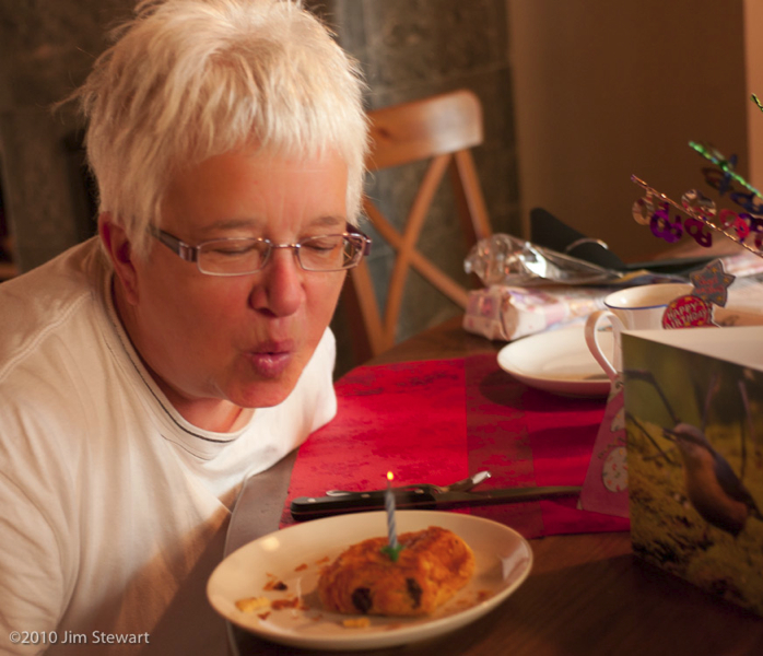
...with a birthday breakfast for a birthday girl
Never divulge that certain age, but it’s a big birthday!!!
a rainy day in Flavigny
21/07/10 23:17
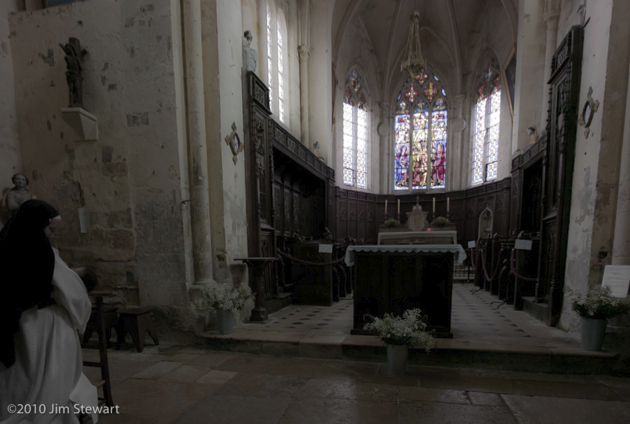
is an opportunity to explore indoors. Starting of course in the church.
And as we can, we start by going upstairs in the church
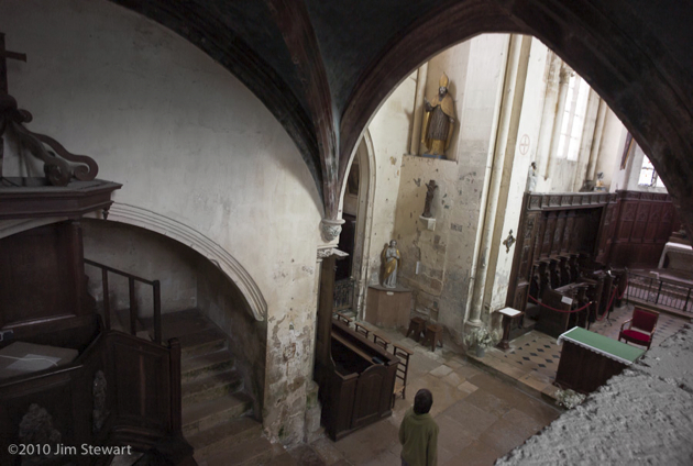
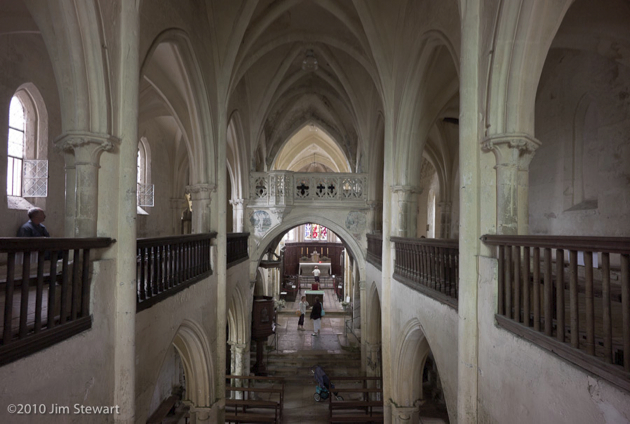
Downstairs, virgin and child appear
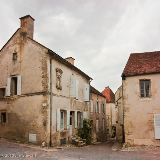
The weather does not improve, but there’s a wonderful stormy light in the sky, which deepens as the hours go by.
This is 4 o’clock:
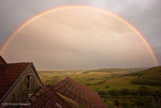
By 9pm the light is further enhanced by a rainbow, seen here over the roof of our neighbours’ house
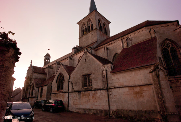
And as the light starts to fade, we walk back up to the church, still louring over the town as the sun sets over the hills
nighttime in Flavigny
20/07/10 18:31
around & about Flavigny (2)
19/07/10 18:31
around & about Flavigny (1)
18/07/10 13:31
to Flavigny-sur-Ozerain, and "La Maison du Vigneron"
17/07/10 17:53
if our 2010 holiday had a centre, this was it
After exploring some new parts of eastern central France, we headed today to our gîte in the village of Flavigny-sur-Ozerain, towards the north of the Côte d’Or Département in Burgundy. Is Burgundy the new Tuscany? Wait and see...
Not too far from Cluny to Flavigny, but we ambled along, checking out campsites at Beaune and Savigny-lès-Beaune for future reference along the way. The Beaune site (“100 Vignes”) looks to have potential, though we’re not sure how long we’d want to spend in the bustling wine town itself, and it’s a fairly urban site. Savigny - also not sure, though nearby Pernand-Vergelesses looked pretty, and would make a good centre for a slurping-tour of the Côtes.
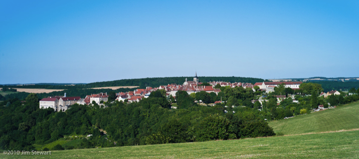
First view of Flavigny was the best known (from pics on the web) view, across the valley from the N9 up from Pouillenay:
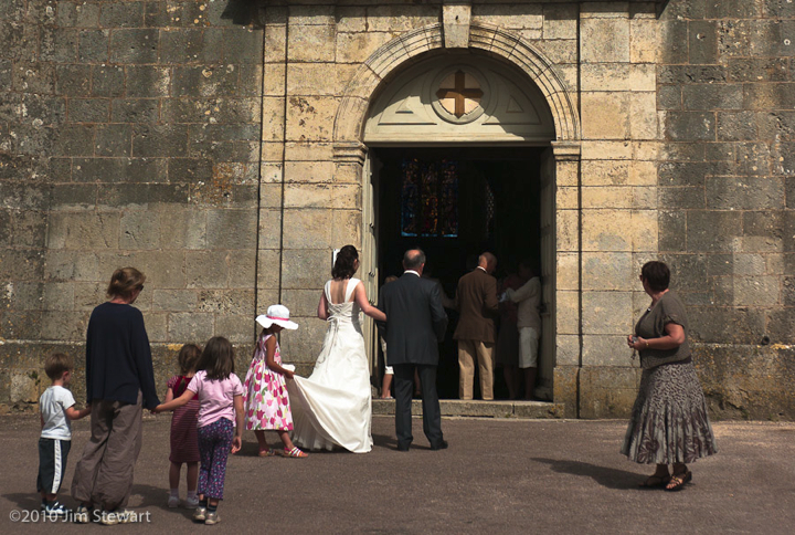
On arrival, a quick look round the village. All was pleasingly quiet - aside from the racket out of this wedding party. Can’t you just hear that confetti?
Cluny la Soirée : Rêves de Lumière & a "Scottish" Band
16/07/10 23:59
... back in town and we’re back for a second evening meal at the Brasserie du Nord
The sun is setting
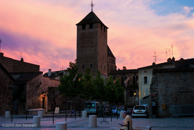
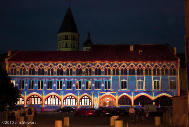
and a remarkable transformation is occurring before our eyes. A “Mise en Lumière” on the facade of the Palais du Pape Gélase, a part of the Cluny 2010 celebrations, and the work of the light artist Patrice Warrener and his Chromolithe Polychromatic Illumination System.
Here’s little .swf presentation of the development of the work:
Cluny2010(click to view - you’ll need to use your browser’s “Back” button to get back here)
Here’s the view from across the square:
Picture of the night in the square, though, has to be this one from Ruth, of a little extra piece of the “Mise en Lumière” right on the terrace of the Brasserie du Nord
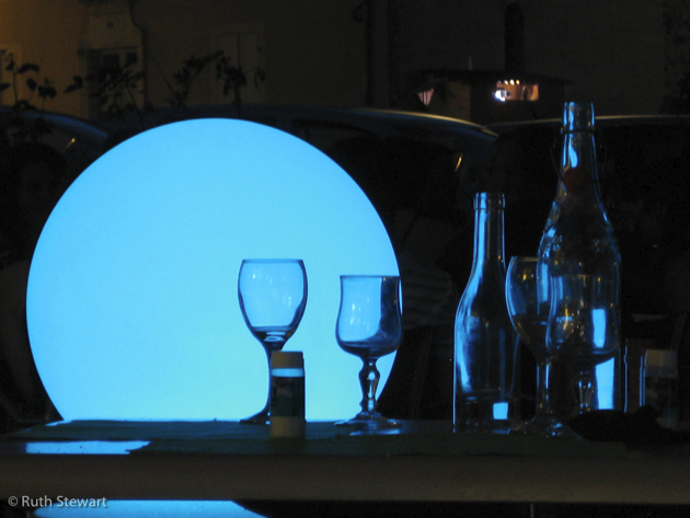
(The light in the background of this picture (top right) is the location of one of Warrener’s projection units, from which the “Rêves de Lumière” lights were beamed to the Palais’ facade)
So once we’d seen that, there was nothing for it but to hit the Café du Centre, to check out the “Celtic Scottish Music” band:
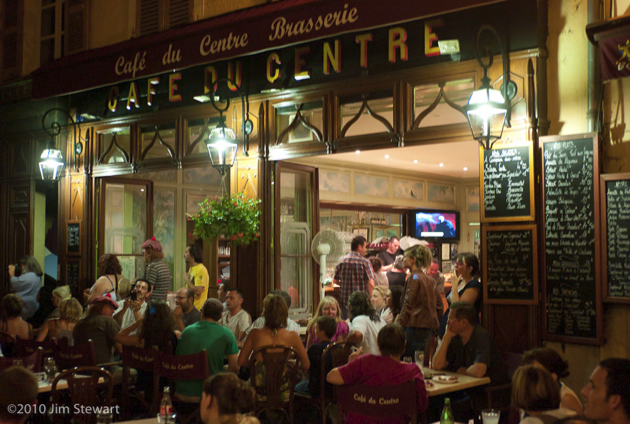
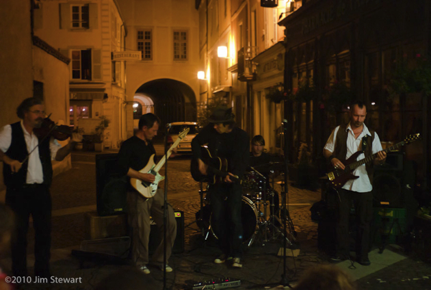
Then back to our hotel, for tomorrow we’re off to our gîte at Flavigny-sur-Ozerain
à Cormatin, et son Château
16/07/10 17:53
not far to the north of Cluny lies the village of Cormatin
There are two good reasons to visit Cormatin, and the less well-known is the excellent Caveau du Figuier, where - amongst the racks of Grands Crus de Bourgogne - we found a bottle of Figaro, a wine from the family Guibert of Mas de Daumas Gassac renown. We’d go back there!
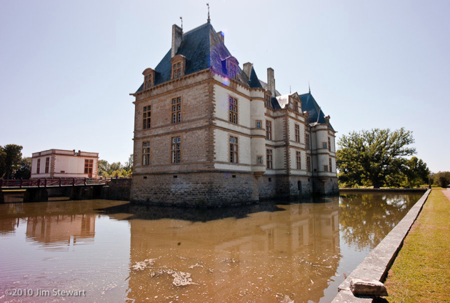
Second, and best-known, is the Château de Cormatin, its owners including the Marquises of Huxelles, the powerful family du Blé, the Lacretelles, a branch of the Lamartine dynasty, and, at the turn of the 20th century, one Ralph Gunsbourg, Director of the Opéra de Monte-Carlo.
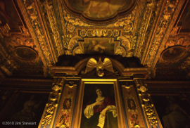
This is the Château...
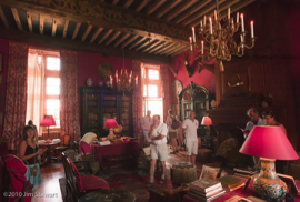
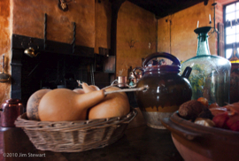
We took the tour...
...and wandered in the grounds...
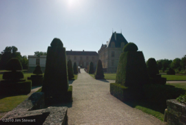
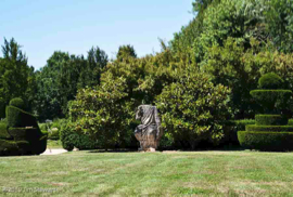
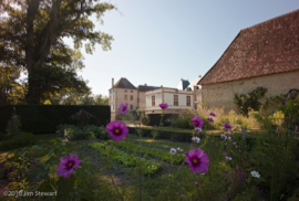
(As usual, click on a pic to enlarge)
afternoon ride : Cluny to Beaujolais
15/07/10 23:50
after lunch, a change of hotel
here’s the view from our new bedroom window:
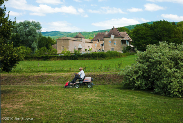
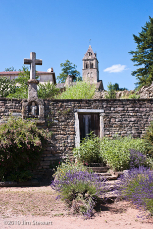
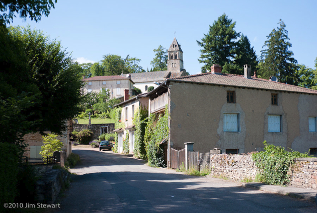
Then off south, stopping first in the hamlet of Saint Point, with its (inevitable) Église Romaine
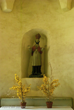
and the (privately owner-occupied) Château Lamartine, formerly eponymously owned & occupied:
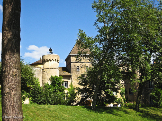
nice wee place, and a decent looking campsite nearby, so we may return!
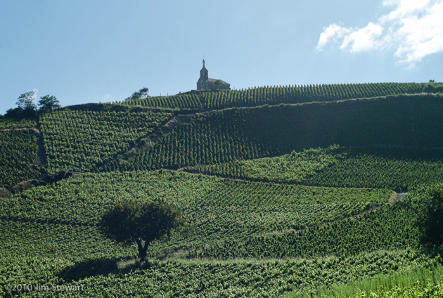
This next bit was a surprise. The posh vineyards of the Côte d’Or that we visited last trip were interesting, but less-opulent Beaujolais is actually far more scenically interesting, with far more dramatic slopes, and with some vineyards every bit as carefully-tended as anything we saw in Meursault or Vosne-Romanée (and some just as scruffy and neglected)
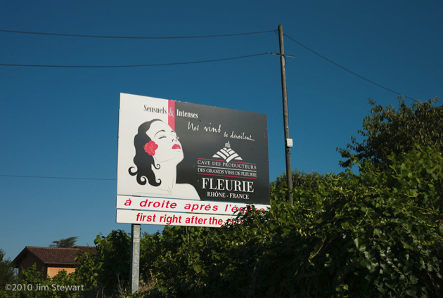
A nice style in promo here, too. She’s reminiscent of the graphic on the old Gitânes fag-packets you never seem to see in France anymore
a morning in Cluny : the town with no Abbey
15/07/10 12:42
we didn’t really know what to expect of Cluny...
... the guides bang on about a ruined abbey, which to us Brit suggests something between a pile of rubble and the like of Fountains or Tintern.
The Abbaye de Cluny, renowned in its medieval day as the largest building in Christendom, was not destroyed by marauding armies. Out-sized only 500 years later by the upstart St Peter’s Basilica in Rome, before its decline and destruction, Cluny’s abbaye was a major force within European Catholicism. The Cluniac faction was dominant in the Benedictine order, shaping the political role of the church in medieval Europe and effectively running the papacy for a couple of centuries. (See wikipedia here)
The Abbaye’s decline appears to have its origins in serious financial mismanagement and overly-ambitious building programmes as far back as the 12th century. More recently in post-revolutionary France the last evidence of its former grandeur was pilfered down to its currently much-reduced size by local people in search of building materials.
The destruction of the abbey was completed by about 1850, just around the time when modern tourism could have made old Cluny into a major global destination, cf. the Alhambra, the Taj Mahal, Angkor Wat or the Vatican.
All that remains today are a few towers and steeples, but nevertheless Cluny is an attractive town which we enjoyed visiting, none the worse, and much the quieter, for not harbouring a “world class” tourist magnet!
We enjoyed our time in Cluny, and may very well return when next we hit Bourgogne. Good lunches at the Central Bar, and the beef with papardelle at the Brasserie du Nord deserves a mention.
We began our morning in Cluny not in the abbey (what abbey?) but in the church nearest to our hotel, the Église Saintt Marcel in the Rue Prudhon (yes, that Prudhon - he was from here too):
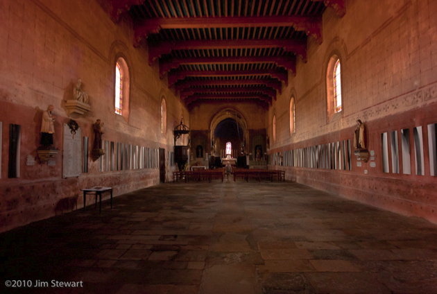
Thereafter, wandering the narrow streets and wide squares in Cluny’s centro storico, we were seldom more than a couple of minutes from some sighting of the (relatively) little that remains of the Abbaye. Round almost every corner there’s a glimpse of a tower...
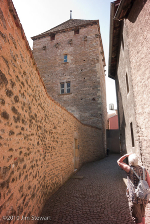
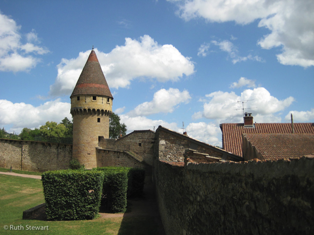
... or of the clocher of the ancienne Abbaye...
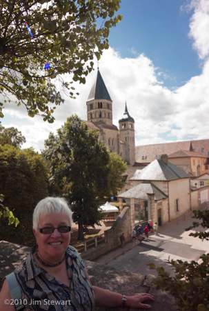
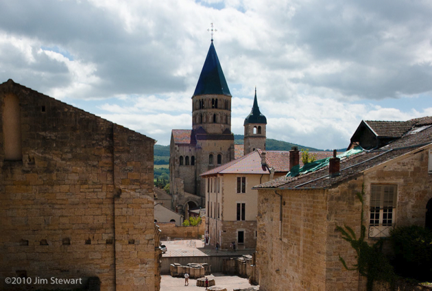
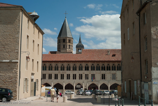
...though the town does have a contemporary cultural life today. The building at the centre of the above shot is a branch of the “École Nationale Supérieure d’Arts et Métiers”, and is this summer itself an artwork in the evenings (more on this tomorrow). Below is just one of a number of public sculptures which grace the town.
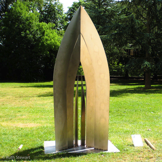
à la Bourgogne
14/07/10 23:42
off now in search of some countryside that may be less dramatic than the Alps...
...but hopefully may be a little less mobbed. À la Bourgogne, and with a freshly purchased copy of “Bourgogne - Le Guide du Routard - 2010” to supplement (supplant?) the Rough Guide.
Interestingly, the Routard seems to confirm and to develop Jim’s long-held but never well-substantiated notion that France splits in two, climatically, across a line that passes about 50 miles south of Paris: with a Mediterranean climate to the south and a broadly British type of weather to the North thereof. Not only confirms what Jim thought he’d seen, but further amplifies the significance of the line, while relocating it to a point more like 150 miles south of Paris. The chapter on the Saône-et-Loire Département begins thus:
“Si vous avez pris l'autoroute pour rejoindre Mâcon depuis Dijon ou Beaune, l'apparition dans le lointain de villages aux toits de tuiles douces et rondes à la romaine, accompagnée dans l'air d'un changement de climat et d'atmosphère, d'une lumière soudain plus gaie, est un signe qui ne trompe pas : il vous indique, mieux qu'un panneau frontalier, le passage irrémédiable du <
Roughly translated, with the help (and despite the hindrance) of Google’s translator:
“If you take the highway out of Dijon or Beaune towards Mâcon, you may notice the appearance in the distance of villages with roofs of smooth and rounded Romanesque tiles; a “change in the air” of climate and atmosphere, and a light that is all at once more cheerful. These signs do not deceive. They indicate, more clearly than any frontier marker, the ineluctable passage from the North to the South, not only of Burgundy, but also of France.
“This frontier is architectural at first: at Tournus, steep roofs covered with slates or tiles flare flat, and spread out. They take on the colour of, and are covered with, the rounded tiles of Roman Provence.
“Then we cross a language frontier : in the north of the Mâconnais a line bounds the Franco-Provençal “langue d’oc” from the “langue d’oil” of the north. Thus for example, “mas”, the Southern word for rural housing, is replaced by “meix”, its Northern form.”
And today we two pass through Mâcon, pausing only to fill the tank in the baking midday heat of a deserted but automated supermarket forecourt. But we will be in Burgundy now for as far as we can really foresee, as this is Wednesday and on Saturday we have to be at Falvigny-sur-Ozerain, where our gîte will await and where we will stay for seven nights.
From Mâcon, our wanderings take us to Cluny, where we arrive just before the thunder, and grab a bed in a Logis. Full board - it doesn’t look like the rain will stop tonight. Strange encounter in the dining room that evening: pressed to order an aperitif, Jim plumped for a Campari soda. The waitress brought a glass of Campari and a bottle of Schweppes tonic water. When Jim questioned this, she informed him they had no soda, and anyway Campari with tonic is “meilleur”. Be warned, dear reader, it’s not! Jim drank what little he could, and it didn’t show up on the bill. So that was a’igh’n’e’end.
looking back over Lake Annecy
14/07/10 12:51
we’ve no pics bearing this date, so, before moving on, here’s few shots by way of an Annecy retrospective
(as usual, click on image to enlarge)
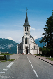 l’Église de Sevrier at Sevrier
 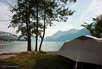 the campsite at Doussard
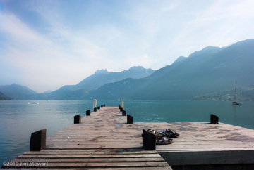 jetty at the campsite
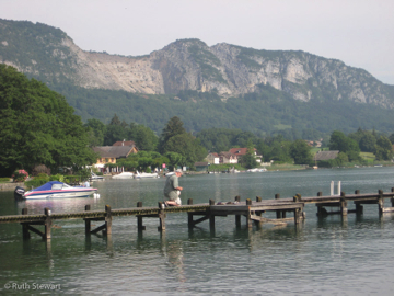
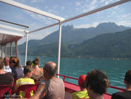
sailing back from Annecy:
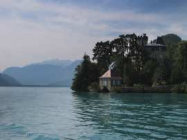
the Château at Duingt, again
 fellow passengers
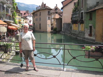 Ruth in Annecy
 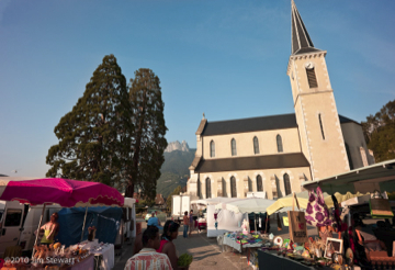 street-market in Duingt
That’s it for the Alps for this year, then.
Will we be back??
Hope so, but it would be good to visit such a dramatically beautiful part of the world outside the main tourist season. Our memories for now are of a beautiful, but bustling, overcrowded and resortified area, awash with tourists and traffic.
up the Lac to Annecy
13/07/10 10:14
took a boat - “La Belle Étoile” - from its landing-place just by the campsite
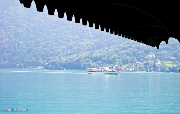
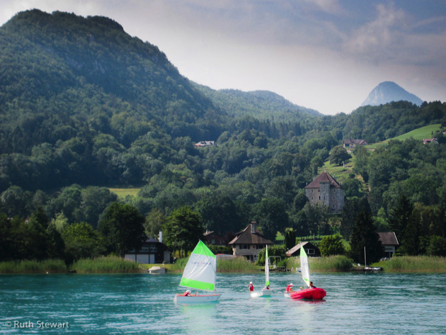
up the lac to Annecy, stopping along the way at a number of the small lakeside towns and villages...
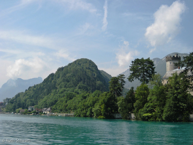
most of which seem to harbour at least one castle...
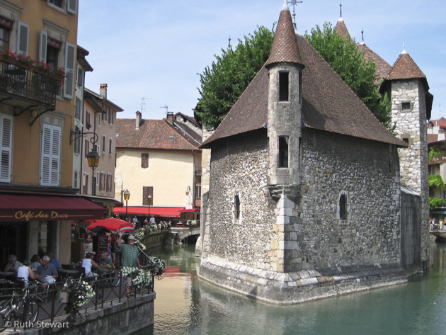
Annecy is a busy town, its streets bustling with meandering tourists and purposeful locals. Main photo opportunity postcard-style is at the island prison, just off the harbour, in the town’s ...wait for it... ”petite Venise” in this case aka “la Venise des Alpes”. In this shot Jim waves to the camera, in true seaside snapshot pose...
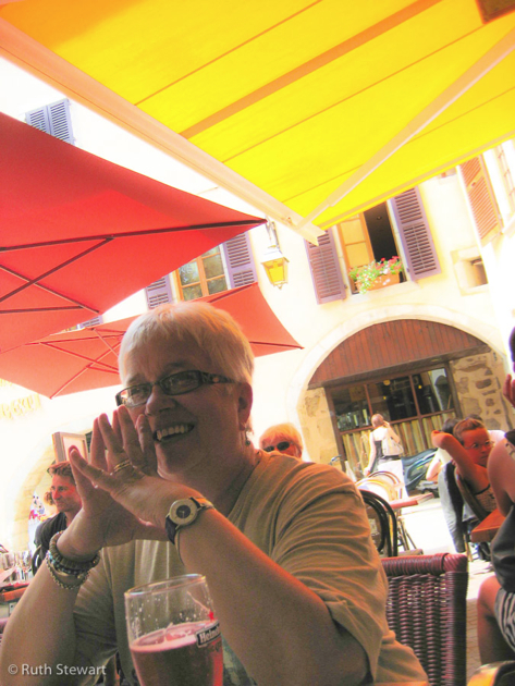
Plenty of good lunch places, but Jim had tp pick the naff bar next to one of the best. Ho hum...
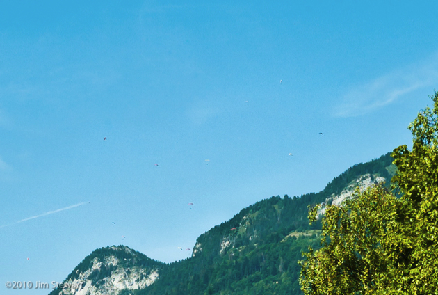
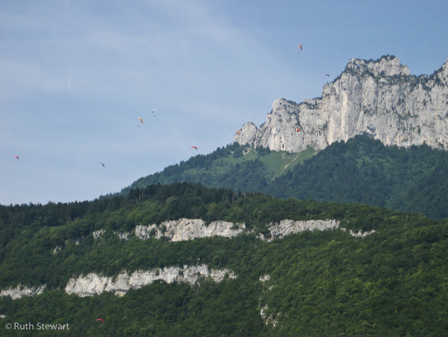
Once again, on the return sail, the skies above the lake filled up with paragliders
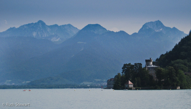
and Duingt emerged from the haze, framed by the mountains to the south of the lake
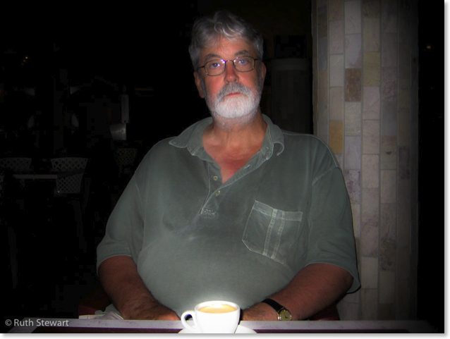
Later that night, in the campsite bar, after a meal of Cassoulet de Castelnaudry cooked on our bluet stove (straight from the tin), the chef relaxes
into the Mountains
12/07/10 10:13
up in the hills above the eastern shores of Lac d’Annecy
the scenery and the architecture are Alpine
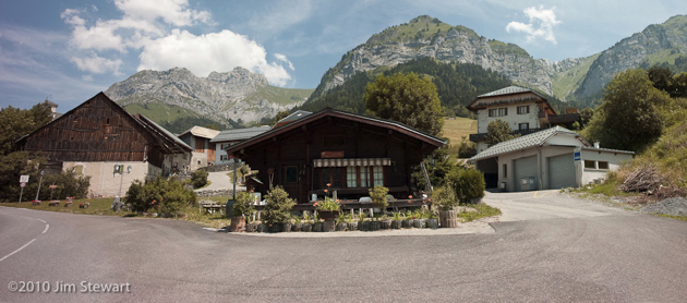
and we dined on local cheeses (Raclette and Tomme de Montagne are memorable) and salade de chèvre at the Bar Le Chamois, near Montmin
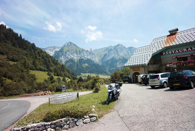
with a view to la Tournette (2351m / 7713ft), the highest peak in this part of Haute-Savoie
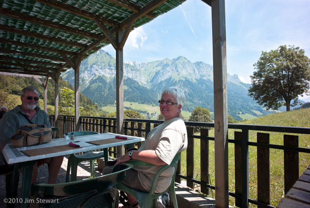
(click here for our location on Multimap - the red circle exactly corresponds to the camera position in pic 2 above)
day of the deux Lacs : #2 : Annecy
11/07/10 19:27
day of the deux Lacs : #1 : Nantua
11/07/10 10:11
we had no real idea what to expect of Nantua
and had not allowed any time to spend there. Just passing through on the way to Lake Annecy. The Rough Guide to France doesn’t even mention Nantua
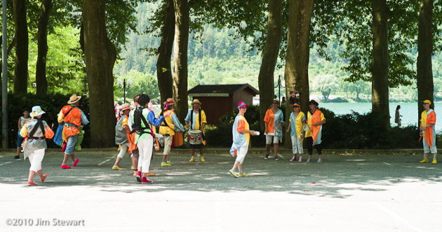
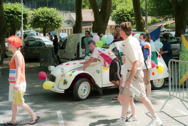
...not its carnival...
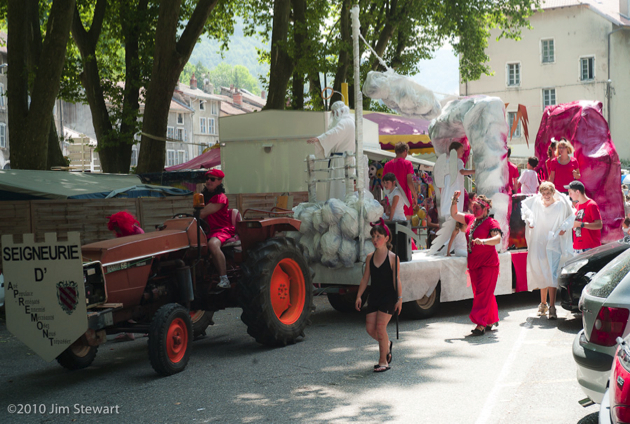
... nor even its Lac...
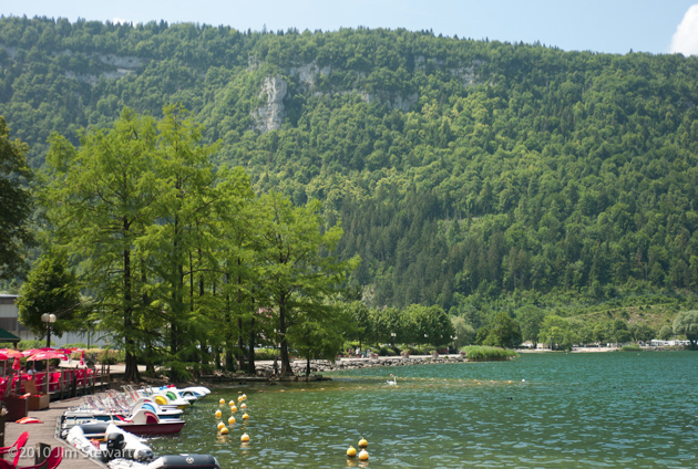
the Lac de Nantua, cradled in its limestone cliffs, 1500 ft above sea level
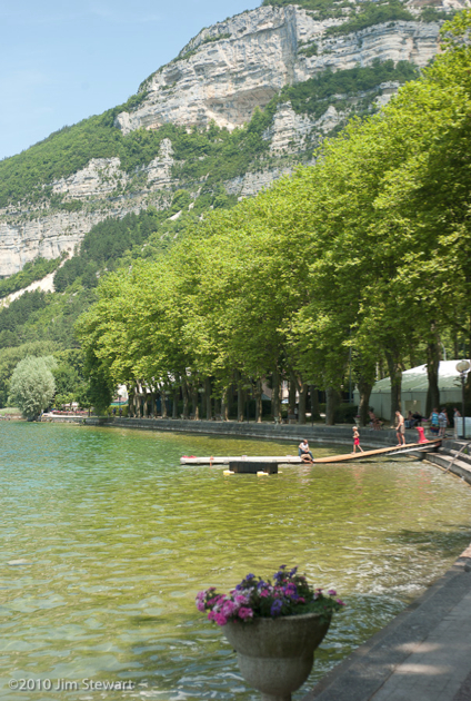
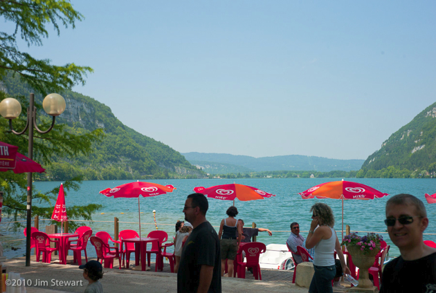
Nice place. We will return!
And funny books those Rough Guides! More Nantua info here
turn-off to Tournus
10/07/10 10:19
today we set out in increasingly sweltering heat...
...aiming to camp for a night or two in the Jura, while heading in a generally southerly direction towards the Alps of the Haute-Savoie Département and the Lac d’Annecy.
Maybe it was the lack of planning, which meant we didn’t really know where to head for in the Jura, and found ourselves a bit directionless. Or maybe it was the heat, and the clear imminence of a major storm. Probably a bit of both, but at Salins-les-Bains we decided to head west, chickening-out on the possible concatenation of mountains, storms and camping. So we took a steer from the Rough Guide and headed over to the Saône valley and the town of Tournus.
The municipal campsite at Tournus was on the banks of the Saône, but a good way out from the town, and in one of those complexes including the Stade and the Piscine, that don’t always augur well for peace and quite, so we headed back to town and found a Logis, just as the rain and the thunder began.
The following morning we read in the local papers that major storms had indeed caused extensive damage in the Maconnais, not too far south of us, and in the Alps.
Strangely, neither of us took any photographs that day. Would we go back to Tournus? Maybe, but maybe we’d pefer to take a longer look at the nearby town of Louhans, and count its arcades (There’s supposed to be 157 of them)
... to Colmar
09/07/10 18:52
...onward down the Route des Vins...
09/07/10 16:58
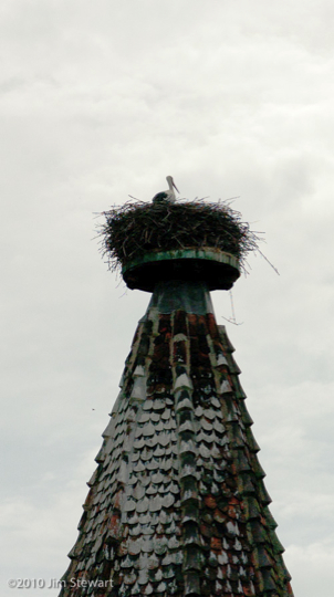
a stork’s nest overlooks the entry to the village of Ribeauvillé
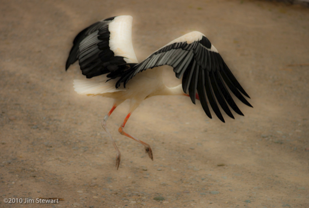
and just a little further along, at the “Centre de Réintroduction des Cigognes et des Loutres” (Centre for the Reintroduction of Storks and Otters) at Hunawihr, storks patrol the car park (we didn’t go in)
We didn’t spend much time at Riquewihr, either. It may be one of the “Plus Beau Villages de France”, but it’s milking its status to the point of being nigh-unvisitable. Here’s a quite corner...
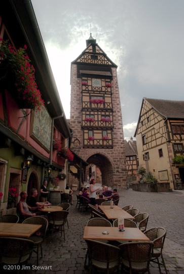
If only it had all been so calm!
morning in Obernai, then out on the Route des Vins
09/07/10 10:07
wake up & it’s an Obernai morning & the first thing that we see, over breakfast, is the geraniums in the Place du Marché
They’re almost everywhere else you look too.
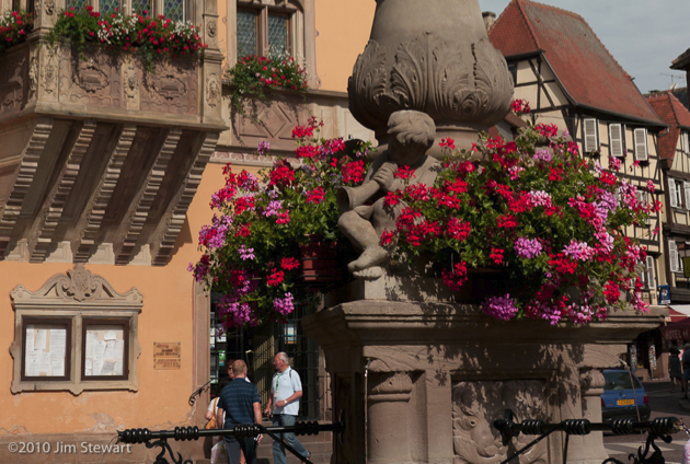
This place is barely French, architecturally...
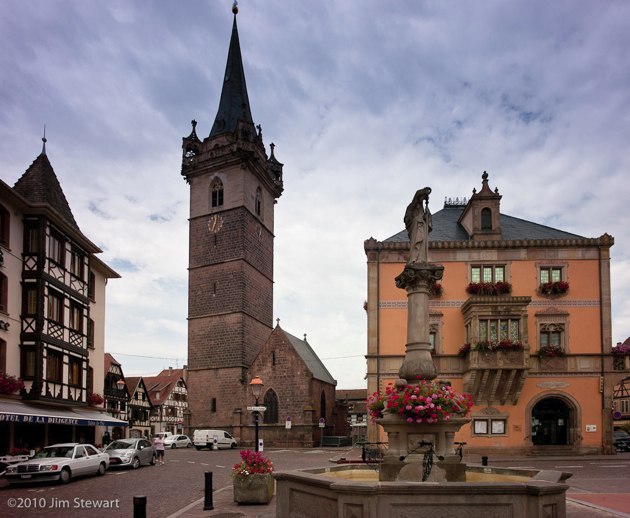
...but perhaps the more intriguing for that Tuetonic touch...
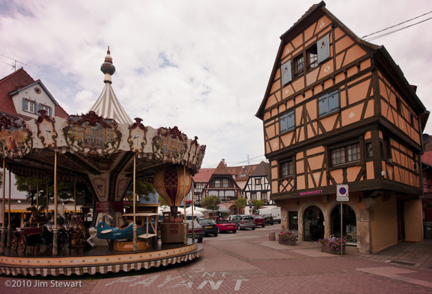
... it feels like the buildings here look eastwards, directly towards Prague, perhaps.
Years ago, driving back up France towards the Channel, a young friend remarked to Jim that northern France is more “French”, while the south is less French, more Mediterranean. In this trip to eastern France we were to find our attention drawn to a less French, more mittel-Europan architecture and ambiance.
Ideas for future trips rush in... but for today, it’s off to explore Alsace, and after a wrong turn up the forest-engulfed Mont Ste. Odile, we’re away on the Route des Vins, to Itterswiller...
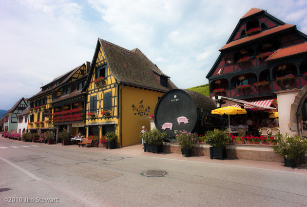
(there’s Ruth checking the menu at the Weinstub - it wasn’t the food, or the prices, but the bus-load of tourists that deterred us from eating here)
and Bergheim...
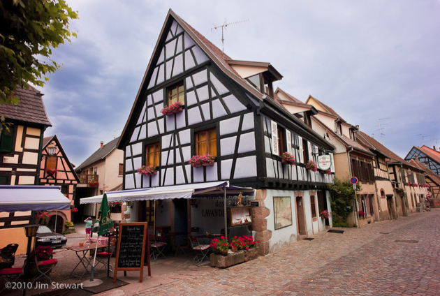
...altogether a lieu plus sympa, and a good place for lunch...
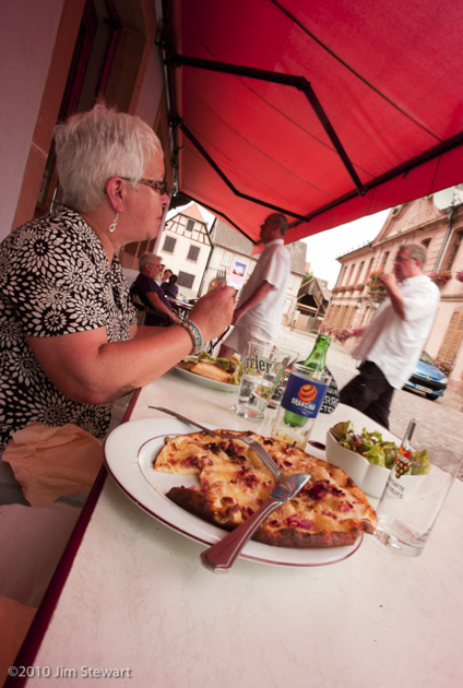
passage to Obernai
08/07/10 23:04
the second night finds us in Alsace
in the town of Obernai, where we stay for a couple of nights in the Hostellerie de la Diligence. Our room overlooks the Place du Marché
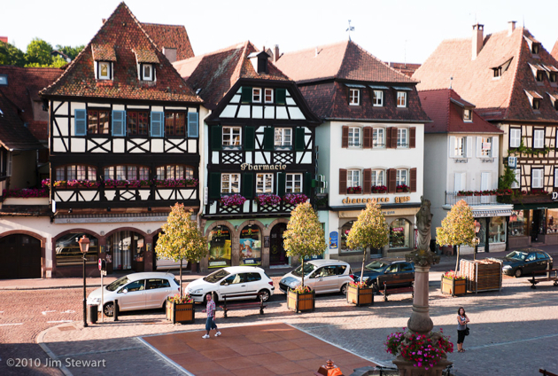
which is worth a couple more shots. I think:
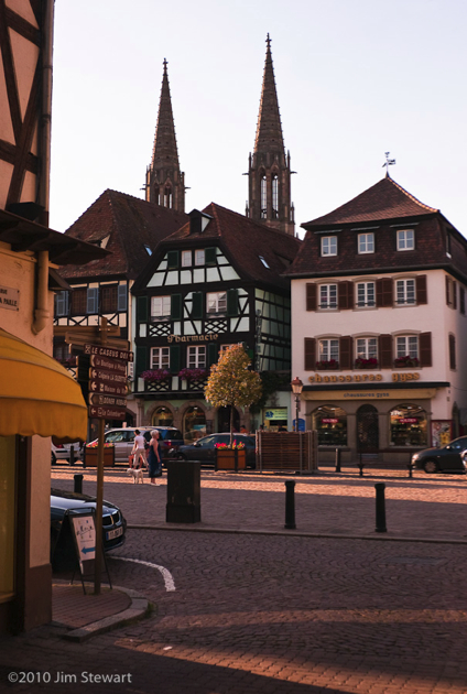
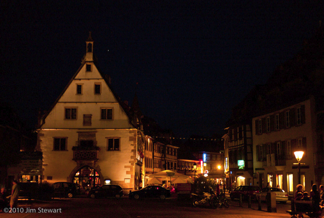
La Diligence is certainly one of the nicest Logis we’ve encountered so far on our “tent and logis” travels
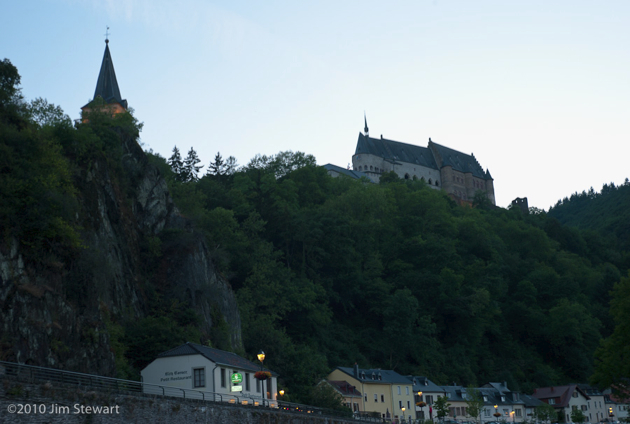
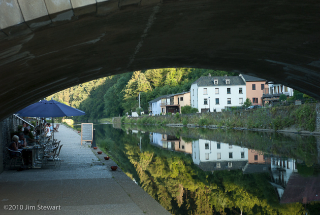
to IJmuiden, thence to Vianden
07/07/10 23:57
heading out
06/07/10 23:27
